
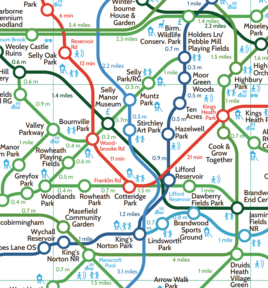
Have you seen Birmingham’s ‘Greenground Map’ featuring many of the green spaces around Stirchley?
The ‘Greenground Map’ is a design project by Helen Ilus in collaboration with Birmingham City Council and the Naturally Birmingham Project to map Birmingham’s green spaces into a creative network. The map includes parks, open spaces, nature reserves and woods – connected by waterways, canals and walking/cycling routes.
See the whole map at: https://naturallybirmingham.org/birminghams-greenground-map/