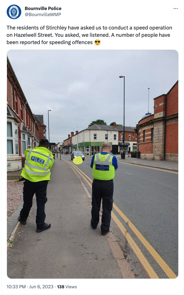
Bournville Police have been monitoring the speed of motorists along Hazelwell Street, after complaints from Stirchley residents. According to a tweet posted on Tuesday 6th June, a number of people have been reported for speeding offenses.
Representing Stirchley Residents
Bournville Police have been monitoring the speed of motorists along Hazelwell Street, after complaints from Stirchley residents. According to a tweet posted on Tuesday 6th June, a number of people have been reported for speeding offenses.
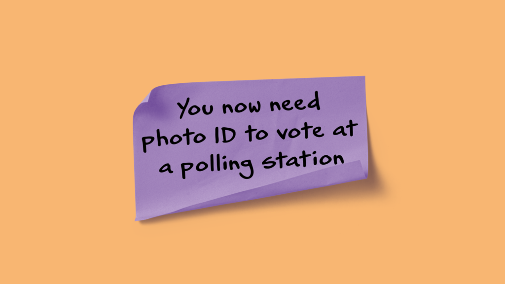
There are currently no scheduled election in Birmingham in 2023. However, from Thursday 4th May 2023 the process of voting in person will change.
Those eligible to vote will be required to show photographic ID in order to receive their ballot paper. ID that will be accepted includes a UK passport, driving licence (or provisional), older / disabled person’s bus pass funded by the UK government and others, which can be found on the Electoral Commission website.
If you don’t have the required ID you can apply for a Voter Authority Certificate on the Electoral Commission website.
The next scheduled elections in Birmingham are the Combined Authority Mayoral Election and Police and Crime Commissioner Elections, both due to be held on Thursday 2nd May 2024.
Birmingham City Council has announced the results of voting in the 2022 local elections. Stirchley ward has re-elected Councillor Mary Locke with 1,900 votes.
Congratulations Mary, we look forward to working with you.

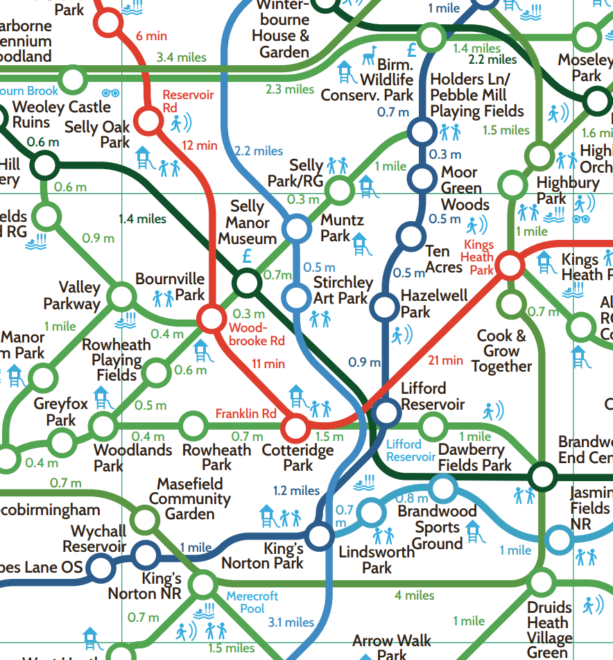
Have you seen Birmingham’s ‘Greenground Map’ featuring many of the green spaces around Stirchley?
The ‘Greenground Map’ is a design project by Helen Ilus in collaboration with Birmingham City Council and the Naturally Birmingham Project to map Birmingham’s green spaces into a creative network. The map includes parks, open spaces, nature reserves and woods – connected by waterways, canals and walking/cycling routes.
See the whole map at: https://naturallybirmingham.org/birminghams-greenground-map/